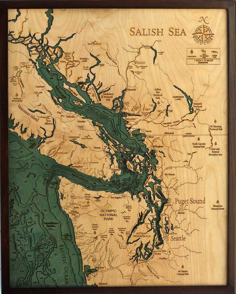
Robbie and Kara Johnson are the husband and wife duo behind Below the Boat, a new company that produces incredible wooden maps of Puget Sound and other seascapes. Based in Snohomish, WA, they’ve both lived a short walk from the Pacific Ocean their entire lives. The Johnsons “see the majesty of a big pool of water and unabashedly geek out over the under-appreciated world hidden just below it’s surface.”
The process starts with a bathymetric chart (the underwater equivalent of a topographic map), then the contours are laser-cut into sheets of Baltic birch and glued together to create a powerful visual depth. Select layers are hand-colored blue so it’s easy to discern land from water, major byways are etched into the land, then the whole thing’s framed in a custom, solid-wood frame and protected seamlessly with a sheet of durable, ultra-transparent Plexiglas. The wooden chart becomes a door into another world (one which, quite literally, lies below the boat).
The result is stunning. It lifts the surface of the water back like a veil, exposing the often-overlooked, under-explored, awe-inspiring world that lies below. To those familiar with the floor of the ocean or the bed of a lake, it’s a beautiful reminder of the deep channels, sharp drop-offs, and mountainous landscapes that are otherwise hidden from view. To the uninitiated, it’s wonderfully eye-opening; as though the world has suddenly taken on a fourth dimension. With over 50 wooden charts to choose from, based on the scenic Pacific Northwest’s volcanic coastline, the warm sandy shores of the Southwest and Southeast, the history-rich coastline of the Atlantic, and lakes from all around the continent, you’ll likely find one that hits home with you.
Below the Boat is the official online partner of the folks who make the wood charts, so there’s no middle-man, you buy straight from the source. Each piece represents someone’s special hideaway and, even if they’ve sailed, motored, paddled, or gazed across the water a thousand times, with one of these wooden charts, it will bring a whole new depth to their connection with that landscape.


Image courtesy of
Below the Boat
Pictured:
An intricate network of coastal waterways, the Salish (SAY-lish) Sea includes the Strait of Georgia, the Strait of Juan de Fuca, the Puget Sound, and all of their connecting channels and adjoining waters. This name was only recently made official (2009), in an effort to raise consciousness about the interconnectedness of the region’s waters and ecosystems.
find them online at: – Below the Boat
